GOLIATH AND THE GRID
Feb 21, 2019
4 minutes

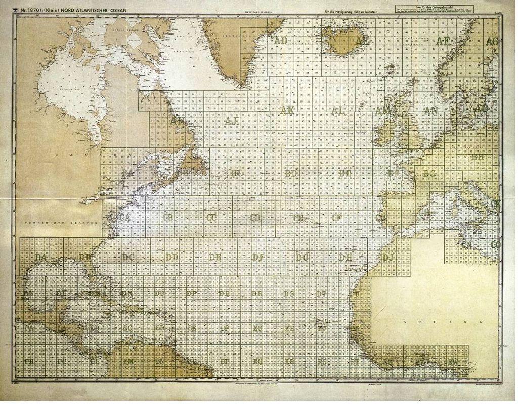
Rather than relying on standard latitude and longitude positioning for global positioning the Kriegsmarine – like the Luftwaffe and Army – developed their own charts using a grid reference system. The world’s oceans were divided into major areas, generally square though sometimes irregularly shaped near land masses. Each of these large areas was identified by a two-letter code (eg AE, CD, EH etc), and further subdivided into a three by three matrix of nine squares, in turn subdivided twice again by the same method.

“FROM 1943 TO THE WAR’S END THE U-BOAT SERVICE UTILISED THE MOST POWERFUL TRANSMITTER OF ITS TIME”
Further complicating
You’re reading a preview, subscribe to read more.
Start your free 30 days


